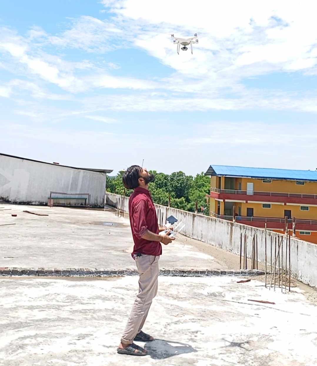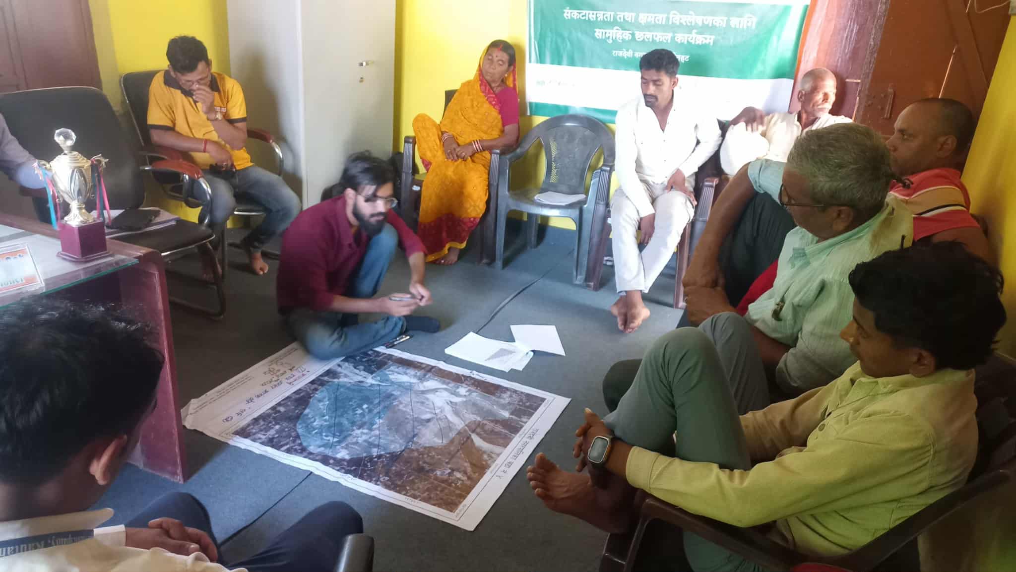
I worked as a climate fellow for five months being stationed at Rajdevi Municipality, Rautahat district under European Union funded project
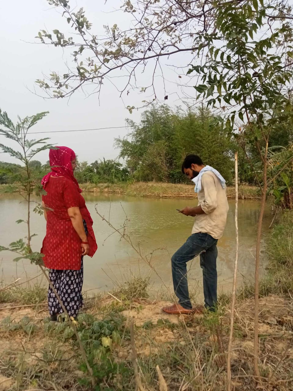
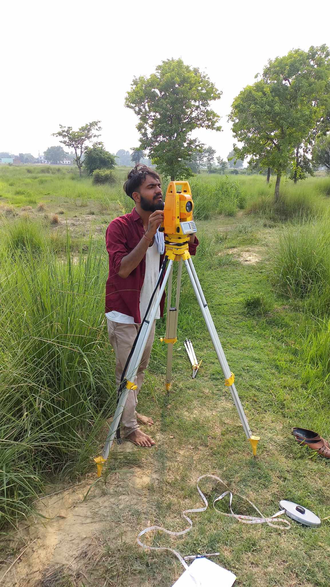
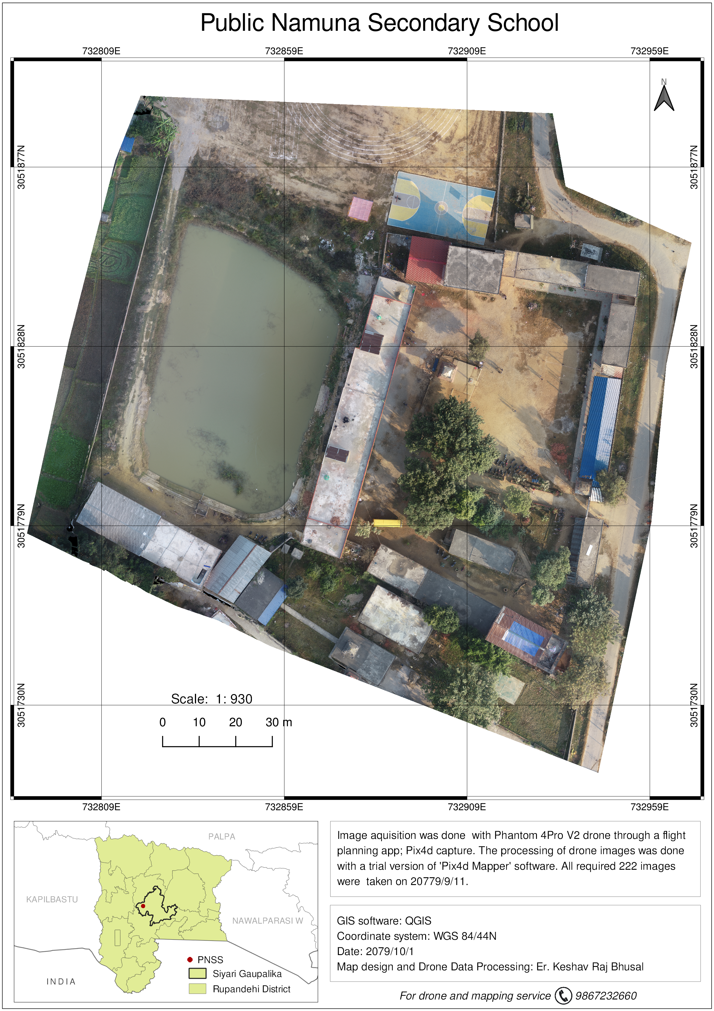
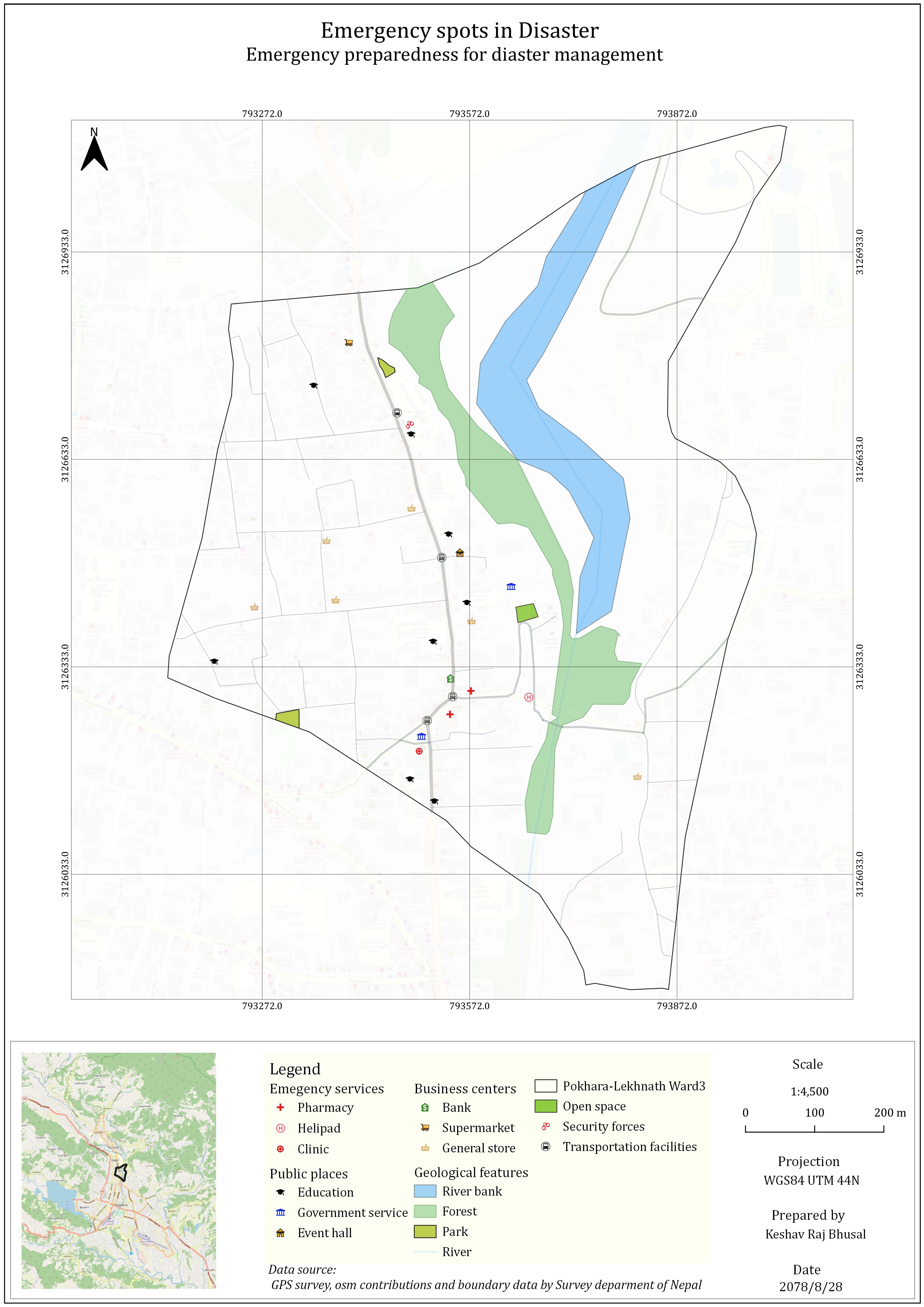
At Rajdevi, I was involved in various DRR and CCA activities like conducting ward wise Vulnerability and Capacity Assessment(VCA),
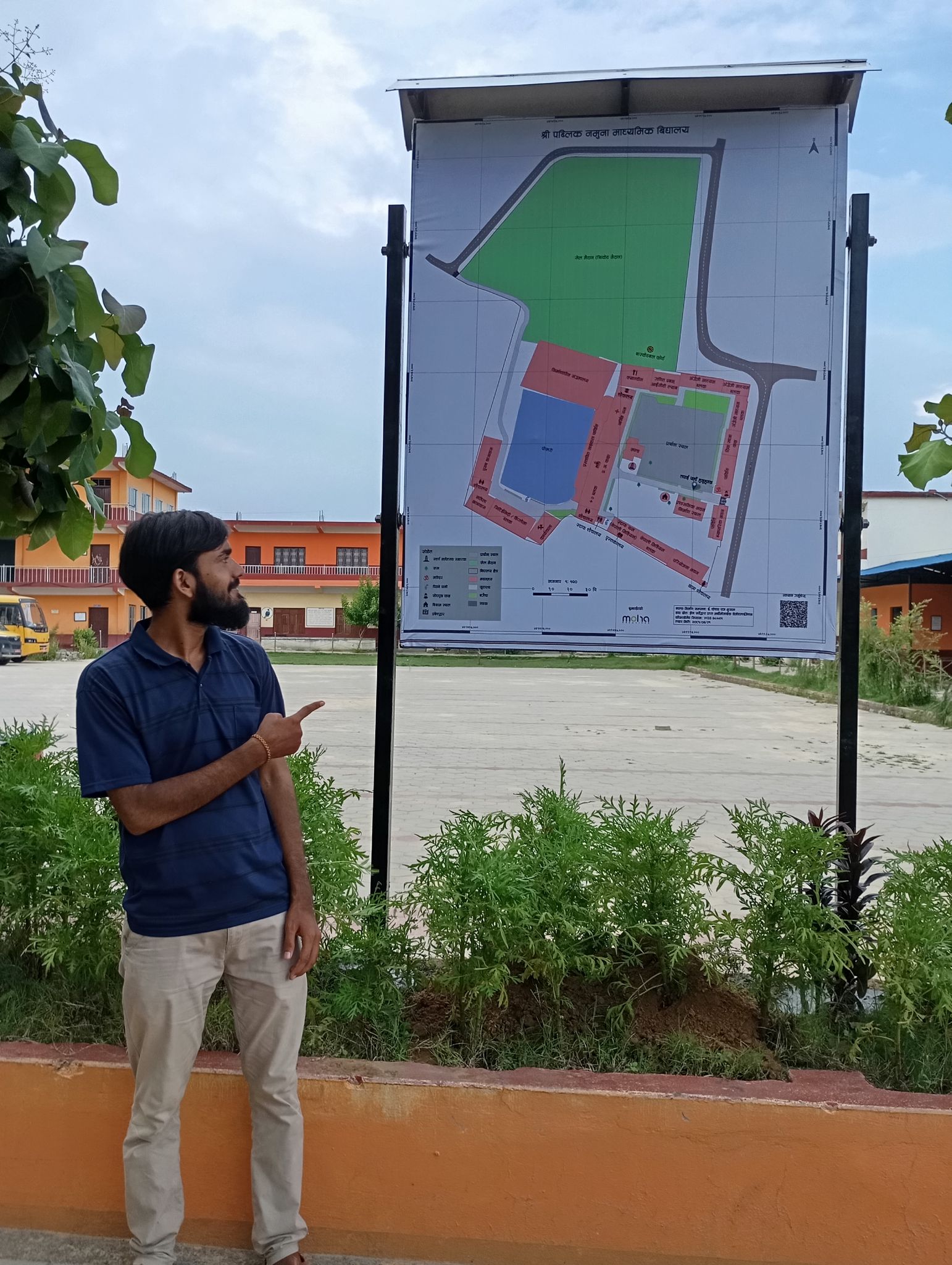
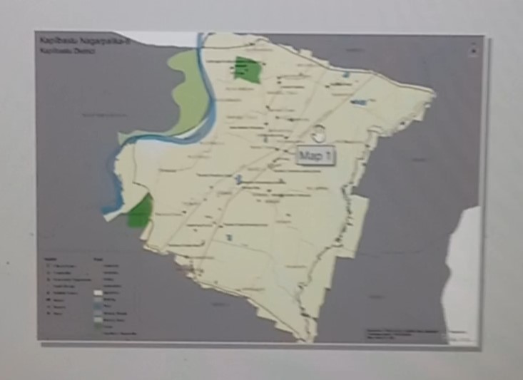
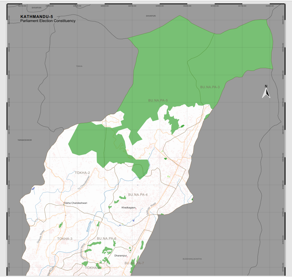
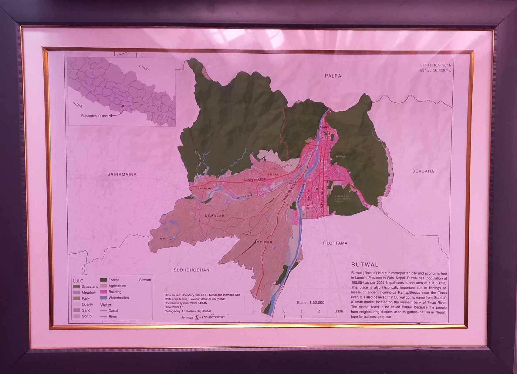
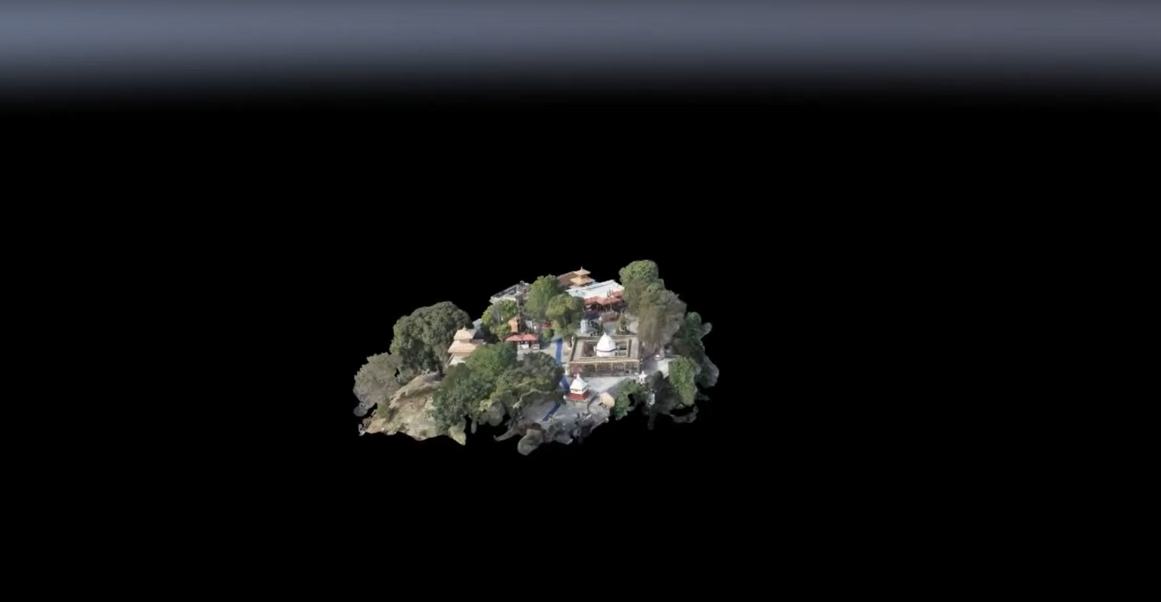
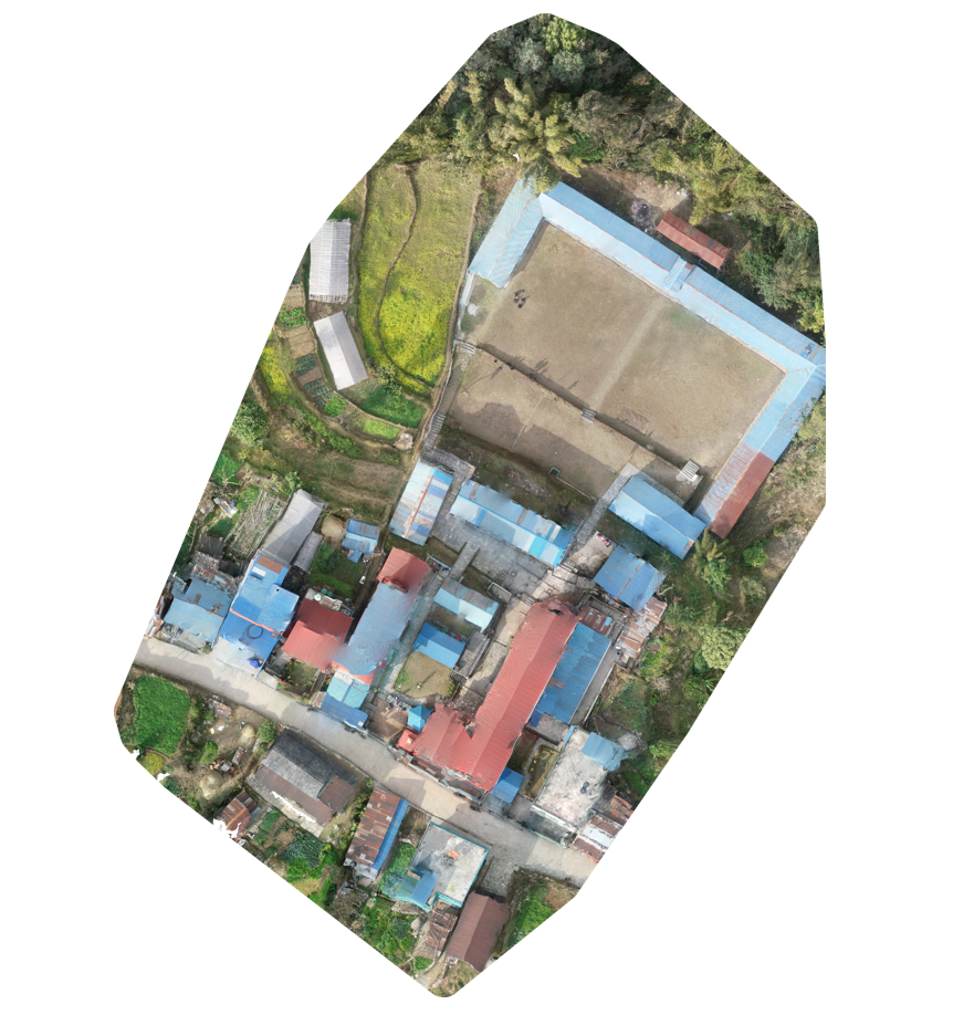
drafting Local Disaster Climate Resilience Framework (LDCRF), OSM mapping, participatory GIS and so on. I also witnessed drought and its effect on agriculture, ecosystem and livelihood, which deepened
my interest in climate change field. Beyond all, I got to learn more about Madhesi community, their lifestyle, language, culture and many more.
I am very thankful to Youth Innovation Lab for this opportunity.